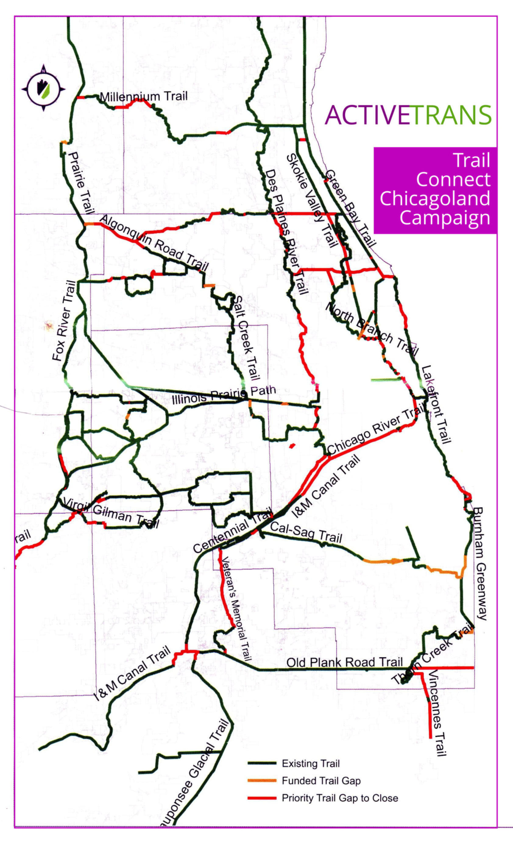
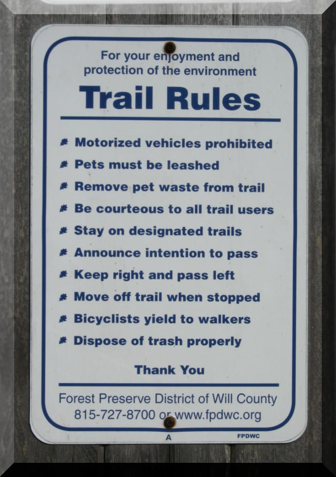
Check out the trail map
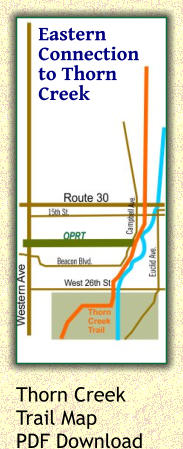
The Old Plank Road Trail is a 22-mile long paved rail-trail that connects the Illinois towns of Joliet, New Lenox, Frankfort, Matteson, Richton Park, Park Forest, and Chicago Heights. Click here to go to the Old Plank Road Trail (OPRT) map page. Thorn Creek Trail The east end of the Old Plank Road Trail now connects with the Thorn Creek Trail system in Chicago Heights. The new trail section connects with trails in the Cook County Forest Preserve District Sauk Trail Woods preserve. Another section runs north and connects with the Brownell Woods sections of the Thorn Creek Trail. Get the Adobe Acrobat PDF map of Thorn Creek Trail from the Cook County Forest Preserve District. Trail tour Take a tour of the Old Plank Road Trail (OPRT) without leaving your computer. Click here to go to the photo tour. Park Forest Railfan Park Dozens of north-south trains cross over the Old Plank Road Trail at Matteson while dozens more run east-west on the former Elgin, Joliet and Eastern tracks that parallel the OPRT about a half mile to the south. The Matteson METRA station platform is also a good train viewing location. Click here for more CN-Connection info. Click here for pictures of some recent trains passing the Park Forest Railfan park.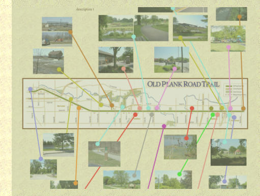
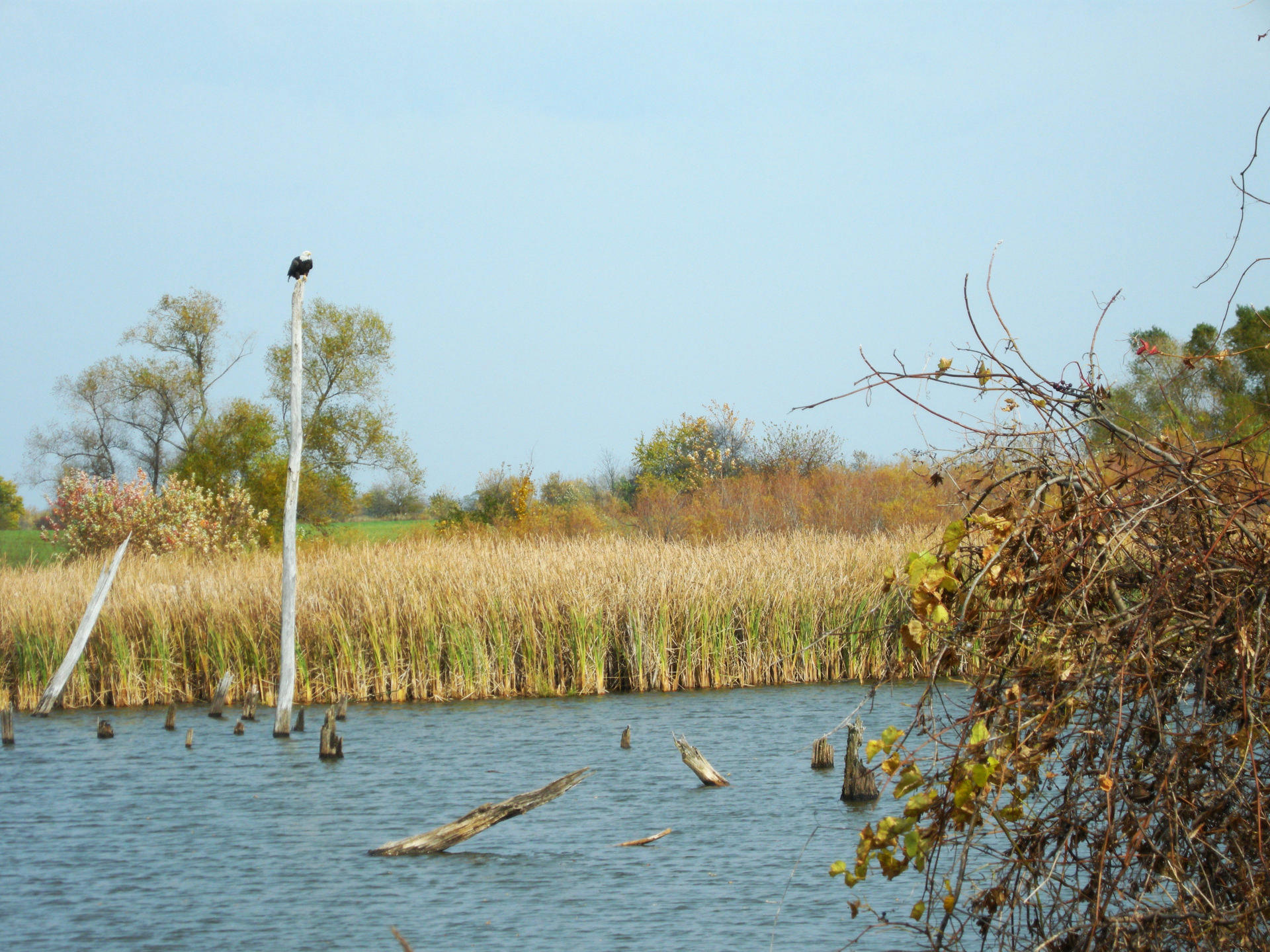
Wildlife along
the trail
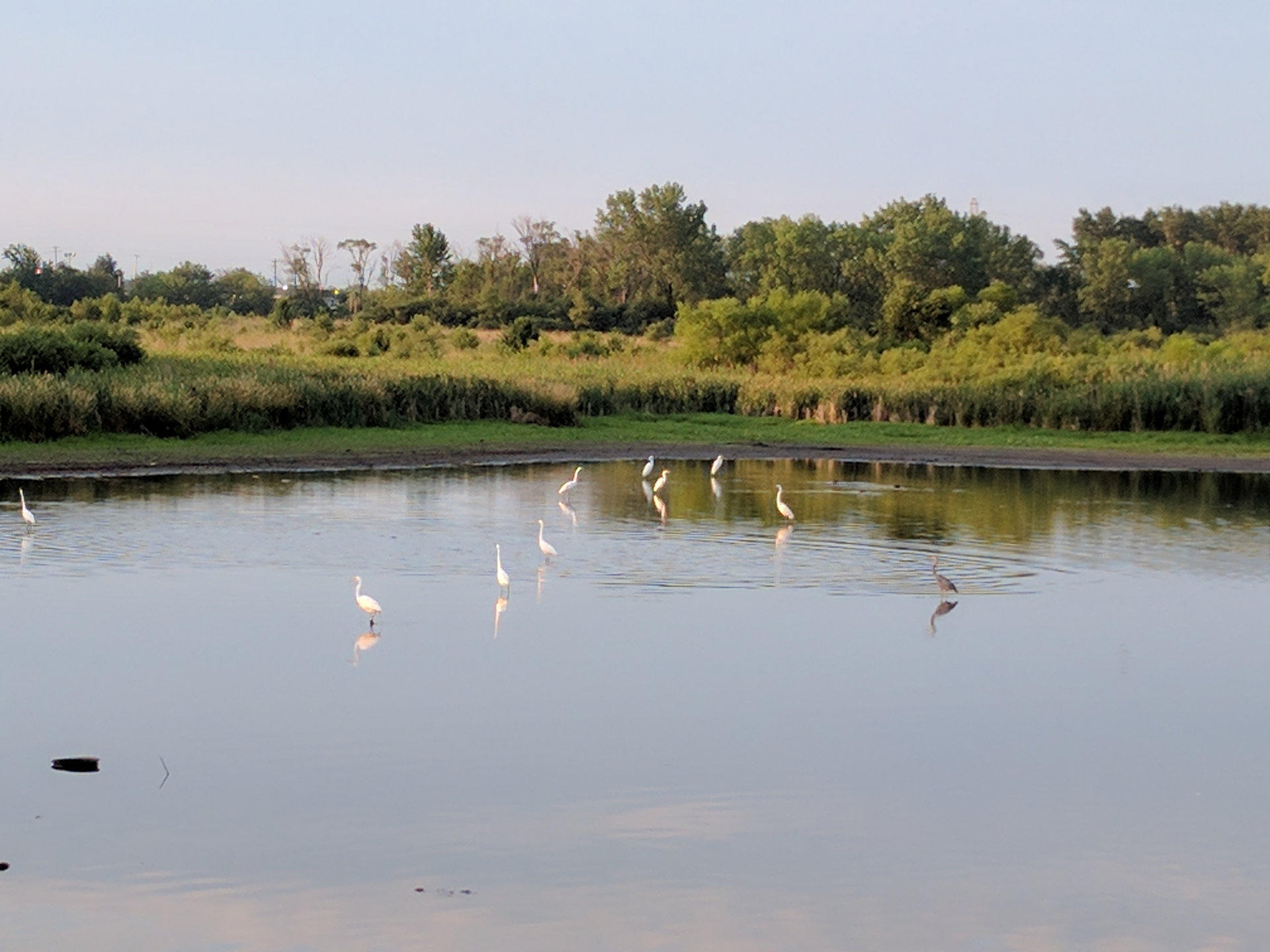
A bald eagle was spotted in the
Dewey Helmick nature preserve
between Central Avenue and
Richland Avenue. It is also home to
egrets and herons.
There are beavers in Matteson east
of Cicero Avenue.
Take a virtual tour of trail sights
Click on the map and images above to visit the OPRT virtual tour with photographs from selected points along the Old Plank Road Trail.
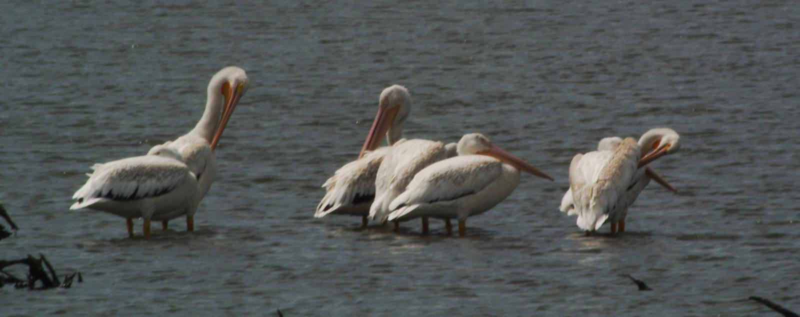
ABOVE: Early morning egrets and herons at Dewey Helmick preserve
BELOW: Pelicans at the Dewey Helmick preserve.
Bald eagle - click to zoom
The Friends of the Old Plank Road
Prairies
The friends are hands-on volunteers committed to restoring
and conserving biodiversity at the Old Plank Road Prairies in
Matteson and Rich Township, Illinois.
It's a community that learns and leads together, sharing in the
joy of fostering a healthier, more diverse natural world. No
experience necessary. To learn more or join in, visit:
oprprairies.friendsilnature.org
https://oprprairies.friendsilnature.org/